

We were supposed to be in Minneapolis. We were supposed to see OMD (Orchestral Maneuvers in the Dark) at First Avenue. We were supposed to be against the rail up against the stage waiting for that short server, God bless her, wading through the crowd with a tray of PBRs as we danced to History of the Modern and singing about the end of the Universe. Then load up on screw top white Monsters, a large coffee and get on 35 South and drive the 4 hours back to Des Moines in the pitch black darkness of Minnestoa and Iowa, stopping at the Kum & Go at Diamond Jo's Casino just to get a reload on coffee, a snack and to see the blue haired woman who is just a trip at 2 am. God bless her, too. Mary's request for the day off was granted. I do not work on Fridays. But due to an illness in the band the gig has been postponed until June of 2025. What to do?
Mary suggested that we do the Pleasantville, IA, to Pella Smokey Row Coffee Ride. This is something we created. Load up the vehicle with our bikes and drive to Pleasantville, unload and ride to the Smokey Row Coffee Shop in Pella, IA, drink a coffee and then ride back and have another coffee in Pleasantville at their Smokey Row. We have done this twice before although the last time ended in a bloody mess. Why not? I need to ride and riding in Des Moines in 2024 has been nothing but closed trails, roads and "easy" pain in the ass "work arounds."
The SRtSR ride is a mix of county highways and trails, all of which is paved. Road bike action! Park in front of the Checkerboard Cafe in Pleasantville and head east to County Highway G40. 9 miles later turn north on Highway 14, cross the mile long bridge, we measured it, and turn east again on G28 and climb to Cordova State Park, 12.5 miles from the start. At last, a trail, the Volksweg Trail that rolls along the north edge of Lake Red Rock and ends in Pella. Google Maps has this as a 52 mile trip.
We left our house about 9 am to give the sun a chance to warm things up. It was in the 50s and the high was forecasted to reach 68° F. We decided that light long sleeve jerseys would be best. Let the legs be uncovered and no jacket or gloves. The wind was in the low teens from the east northeast. Tailwind for the return. Quick run to the drive thru at McDonald's for breakfast sandwiches and a drink. Of course, needed gas for the Pilot. Someone's Jeep Grand Cherokee died in a turn lane causing all sorts of issues delayed us a bit more. Eventually, we got to Pleasantville and parked on the main drag on the same side of the Smokey Row, the Checkerboard Cafe was across the street. Unload and roll.
Finding the way out of town is easy enough. Just head east and take the first right, go two blocks and take a left, G40. This county highway is relatively flat with a few rollers. There is an adequate shoulder marked with rumbles to ride on and give cagers more room to pass. The surface of G40 is fairly smooth as is the shoulder. There are spots of gravel washed up from the shoulder or gravel intersections that are easy to avoid. It is harvest season so there were a lot of farmers out in the field. Not much for grain trucks on the road, however. But a good number of men in overalls and seed store caps driving pickup trucks on the road. No issues. This is why I use a mirror and ride without headphones, ear pods or a stereo. I like to hear what is behind me. I have 300,000 songs in my little brain and usually a tune is playing at all times so the need for audio equipment is unnecessary.
 |
| Action photo of Mile Long Bridge. I miss real cameras. I took better photos when riding with them. Believe it or not, there is enough room to ride a bike between the white line and the railing. I've done it several times and I'll do it again. |
G40 ends with a downhill to the stop sign. This is where the ride goes on Highway 14 for 2 and a half miles. A larger shoulder to ride on and more traffic. The mile long bridge soon appears. Google Maps labeled it as Mile Long Bridge as it crosses the Des Moines River. Not much of a shoulder here but bicycles are very visible. Be aware that there are divots that allow the rain to drain off. Expansion joints cross the bridge at several locations. They look worse than they feel. It wasn't until the return trip that I got my arse off the saddle when rolling over them. Should have done this from the start. Hy Vee has several semi-trucks going up and down 14. They are courteous and gave us wide berth. After the bridge the shoulder returns. Climb a bit and soon G28 appears, turn right and climb a bit and Cordova Park will be on the right. That was at 12.5 miles. Now the "safety" of the trail.

The new part of the trail has yet to show up on Google Maps. Rest assured, it has been there for 5 or 6 years. Smooth, windy and small hills. The first mileage marker appears, Mile 13, IIRC. When Robert's Creek parking lot and restrooms appear so does the trail on Google Maps. It was here that we had a bad crash. On the return I was contemplating the need to slow down for the curve near the restrooms, not that I was going super fast and WHAM!!! I was on the ground. My front wheel must have been grabbed by the lower surface of the original trail and the higher surface of the new trail section. As I lay there, I felt something and looked up and saw Mary's bike flying above me. She ran into me after I crashed. Those nanoseconds seem to take a lifetime. We were scraped up and bleeding. The chain of my LeMond got sucked between the BB and crank. I had to straighten the front wheel to be proper with the bars, too. We hurt. Mary's head hit the ground, fortunately, she always wears a helmet. I crashed on my side as usual. Fixed the bikes and brushed ourselves off and rode the 14 miles or so back to Pleasantville. We were too bloody to visit the Smokey Row, looking like we were part of the Pulp Fiction cast. I thought about going back and spray painting that crack and donating a bench dedicated to this spot. I think they resurfaced that spot and there is a bench there now.
 |
| The scene of the crash. I almost could smell my blood. |
From here the original surface of the Volksweg Trail is our home. The trail enters and leaves canopy quite a bit. Beautiful views of trees and the lake. A few weeks from now the foliage will be at its peak. Only one black walnut tree along the way. There were plenty of leaves and insects on the ground. We noted the color of the woolly caterpillars, to see if more of them were brown or black, to guess what winter would be like. More brown, mild winter, more black hard winter. Click here for more info Weather Predication Accuracy of Woolly Bears Be cautious on the bridges and the curvy wooden ones. Some are shaded, full of leaves and still were wet from last night's rain. Also be aware that there is a long stretch of shoulder to shoulder length cracks that make the ride uncomfortable unless you are riding fat tires or low pressure tires. These really need to be repaired.

 |
| At times the Volksweg parallels G28 |

.jpg) |
| Two turkeys! As close as I could get without startling them. One was still there on the return trip. |
After the cracks and playground, we entered a tunnel that took us under Highway T15 to the picnic area. It was here that we left the trail, fearing that the trail would be closed because they are working on the dam, and took T15 to Idaho Drive and after about a mile or so we resumed riding on the Volksweg. Just look for the gas station on top of the hill. The trail took us all the way into Pella.
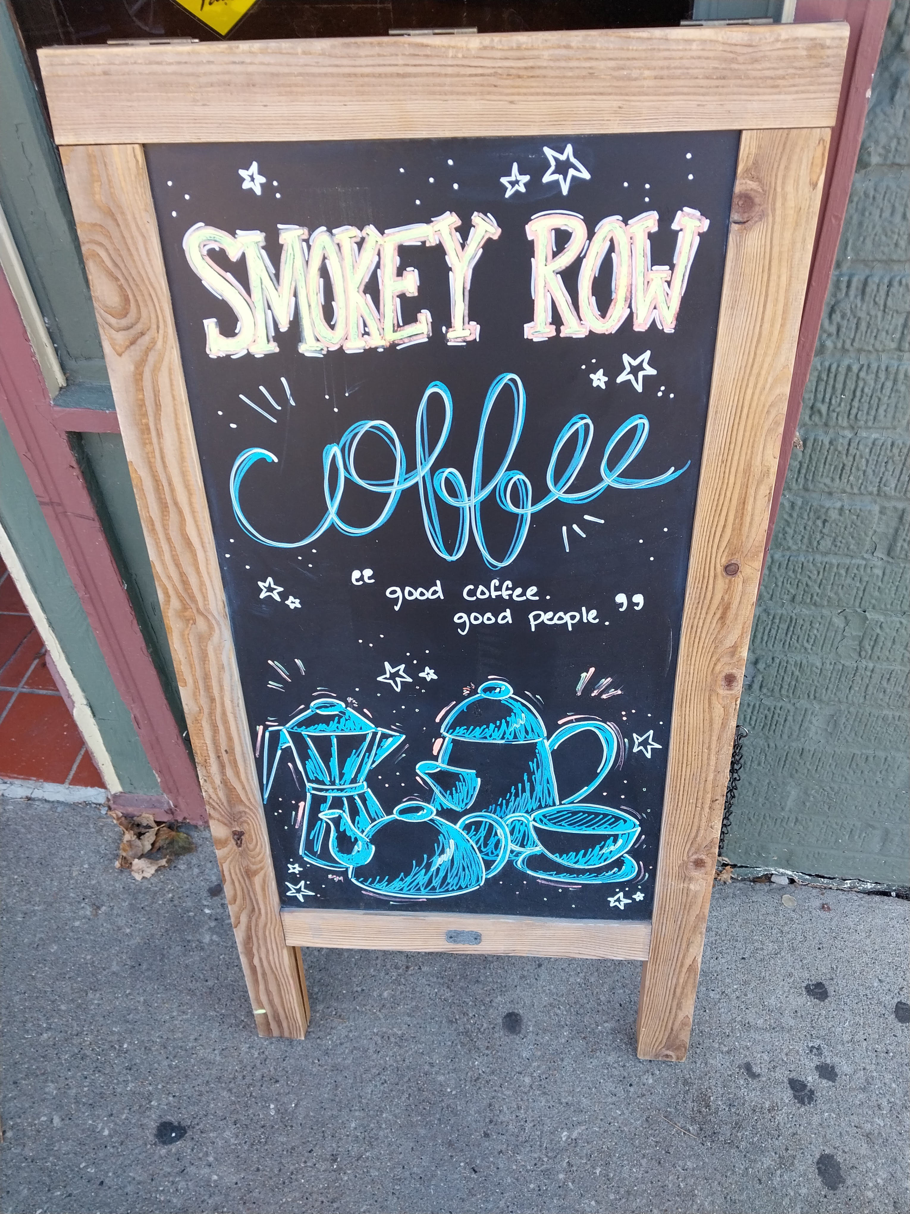 |
| This must be the place. Smokey Row Coffee Shop, Pella, IA |
 |
| Barely visible on the table, my iced coffee |
The Orange Cone Plague has hit Pella and we detoured from the trail to get to downtown near the square to the Smokey Row. No bicycle parking. Tons of people on the sidewalks and cars in the streets. It is a Friday during Banker's Hours, don't these people have jobs or school for the children. I got bumped by a bag that some kid was carrying walking side by side with 4 of his family. I thought to myself that the East Village would sacrifice their first and second born for such foot traffic. What is going on? The we looked at the square with it's replica windmill, Netherland's style, home coming event for Central Collage. Sports related holiday! I was glad the coffee shop was not busy. I had a cold brew with oatmilk and Mary had an iced latte with a cookie. She asked if we were going to eat. I should have listened better. Nope, caffeine is an appetite suppressant. I should have thought of her. Could explain her headache during the ride back.
After the consumption of caffeine we reverse the course. Drivers were friendly as the endless parage of SUVs paused to let us cross the street at Central Campus and return to the trail. The ride back was much faster as we now had a 10 mph tailwind. I believe we were an hour shorter on the return. Wind makes a difference. Nothing to note except that the cracks seemed worse. A roadie on a Felt, still in big ring, stopped with us at an intersection and we all bitched about the trail surface.
We stopped to use the restrooms at Robert's Creek. No water available but I felt like I had enough. Mary mentioned her headache and I remember that I had a baggie of Aleve in my backpack that I took to our South Dakota adventure, and I gave her the allotment. Empty bladders for the last time and roll home. Although no incidents on 14 or the mile long bridge I was happy to see the sign indicating the turn for Pleasantville 9 miles away. I did a countdown. More harvesting equipment and dust. Glad I took my Claritin. P-Ville did not appear until we were right on it. Trees too tall Mary said. Frustrating. I did my best riding here. Finally had some speed and I felt like my hill game on the rollers was fine.
 |
| History Lesson. On G40 aka Stringtown Road |
 |
| Very delish drink! I could have drank a gallon. Only one swallow left in my water bottle!! |
We loaded the bikes up once we reached the car and then went into the coffee shop. I was really in the mood for a gallon of Gatorade but settled for a caramel apple refresher with caffeine. It was green and delicious. And then once again the drive into the sun and home. Mission accomplished 54 miles.